From the forested headwaters of the Connecticut River along the Canadian border, to the bustling urban landscape of Bronx, New York, a new StoryMap provides insight on the people that live and work within the Long Island Sound watershed. Created by the University of Connecticut (UConn) Center for Land Use Education and Research (CLEAR) and the Long Island Sound Study (LISS), the online resource provides educational information and maps in a concise and interactive format.
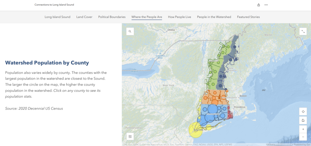
The StoryMap is broken into two sections, the first providing an overview of the watershed, its land and people. Using data from the U.S. Census, the UConn team evaluated relevant demographic and population values to include. Map users can explore data related to political boundaries, population density, housing, socioeconomic status, age and race as they navigate the 16,646 square mile watershed. The StoryMap also displays watershed-scale land cover classes, such as forest, developed, water, grass, and agriculture.
“This is a great resource for people working and living in the watershed to understand the land and waters that lead to the Sound,” said Anya Grondalski, NEIWPCC information officer and LISS science communicator. “More than 9 million people populate the area, with each person uniquely interacting with their local environment. The map takes a comprehensive look at who and where people are, and how our actions have a collective impact on Long Island Sound.”
The second part of the StoryMap delves into nine communities across five states, sharing personal stories about their connection to the watershed. For example, Quinn Lonczak, project supervisor of the Chicopee, Massachusetts Water Pollution Control Facility, describes efforts to upgrade water infrastructure to benefit public health in the historic mill town. Heading downstream to Queens, New York – home to more than 2.4 million people – readers can learn about Good Jean Lau and Eugene Wong, dragon boat racers and their efforts to keep the water clean.
To learn more about the StoryMap and how it can be used, a webinar will be held on March 20, from 1-1:30 p.m. as part of the CLEAR Geospatial Webinar Series. Register for the webinar here.
The StoryMap was created by UConn CLEAR in partnership with the LISS and NEIWPCC.