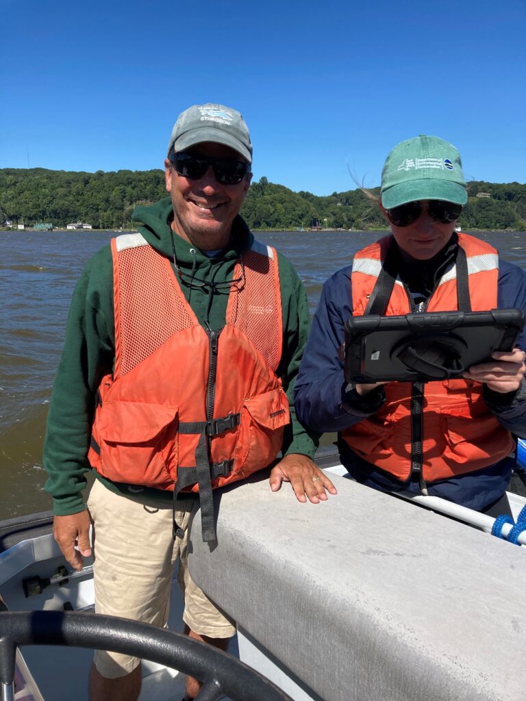
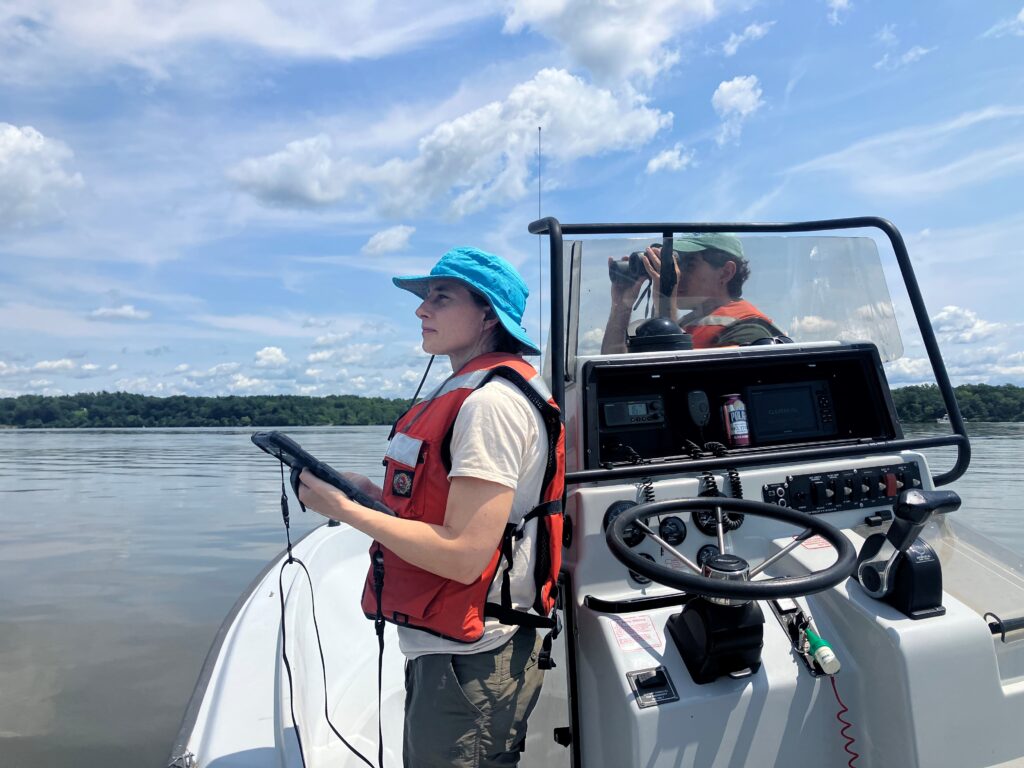
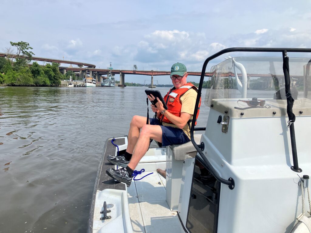
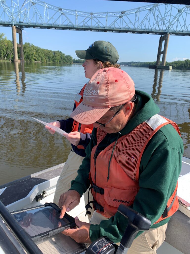
Last summer, NEIWPCC staff at the Hudson River Estuary Program mapped the shoreline via boat survey from the Mario M. Cuomo Bridge near Tarrytown to the Federal Dam in Troy, New York. A total of 1,332 shoreline segments were identified and inventoried, documenting conditions of engineered and natural shoreline sections.
The field data and site photos were then uploaded to an online GIS database, resulting in a geo-referenced map and inventory of the Hudson River shoreline that includes site-by-site descriptions and photos. This data will be used by regional resource managers, municipalities and interested members of the public to better understand the shoreline composition, examine the relative amounts and location of shoreline types, and inform management and development decisions. The survey builds upon a 2005 effort, incorporating new technologies and methods for classifying shorelines.
The Hudson River Estuary Program is managed by the New York State Department of Environmental Conservation (NYSDEC) and is a NEIWPCC program partner.