The National Water Level Observation Network gained data from the Hudson River last October.

That’s when the National Atmospheric and Oceanic Administration (NOAA) added the Turkey Point Tide Station to its national network. The station provides near-real-time reporting of water and meteorological conditions.
NEIWPCC staff member Christopher Mitchell, other NEIWPCC staff members, and others at the Hudson River National Estuarine Research Reserve (HRNERR) built the monitoring station on the western bank of the Hudson. HRNERR spent three years bringing the station in line with NOAA standards.
The station, which is on the Hudson River nearly 100 miles north New York City, fills an important observational gap in the nation’s water level monitoring network.
Water level measurements transmitted every six minutes from Turkey Point, and tidal predictions based on them, are valuable new navigation resources for recreational boaters and commercial ship pilots. They also aid monitoring of storm surge and sea level change. In addition, the data help with research on climate impacts, such as research on the relationship between water level and marsh sedimentation and erosion.

The station also transmits water-temperature and meteorological data, which can improve weather forecasting.
The new NOAA-compliant tide station complements the only other permanent tide station on the 152-mile estuary, which is at the tip of Manhattan’s Battery in New York City.
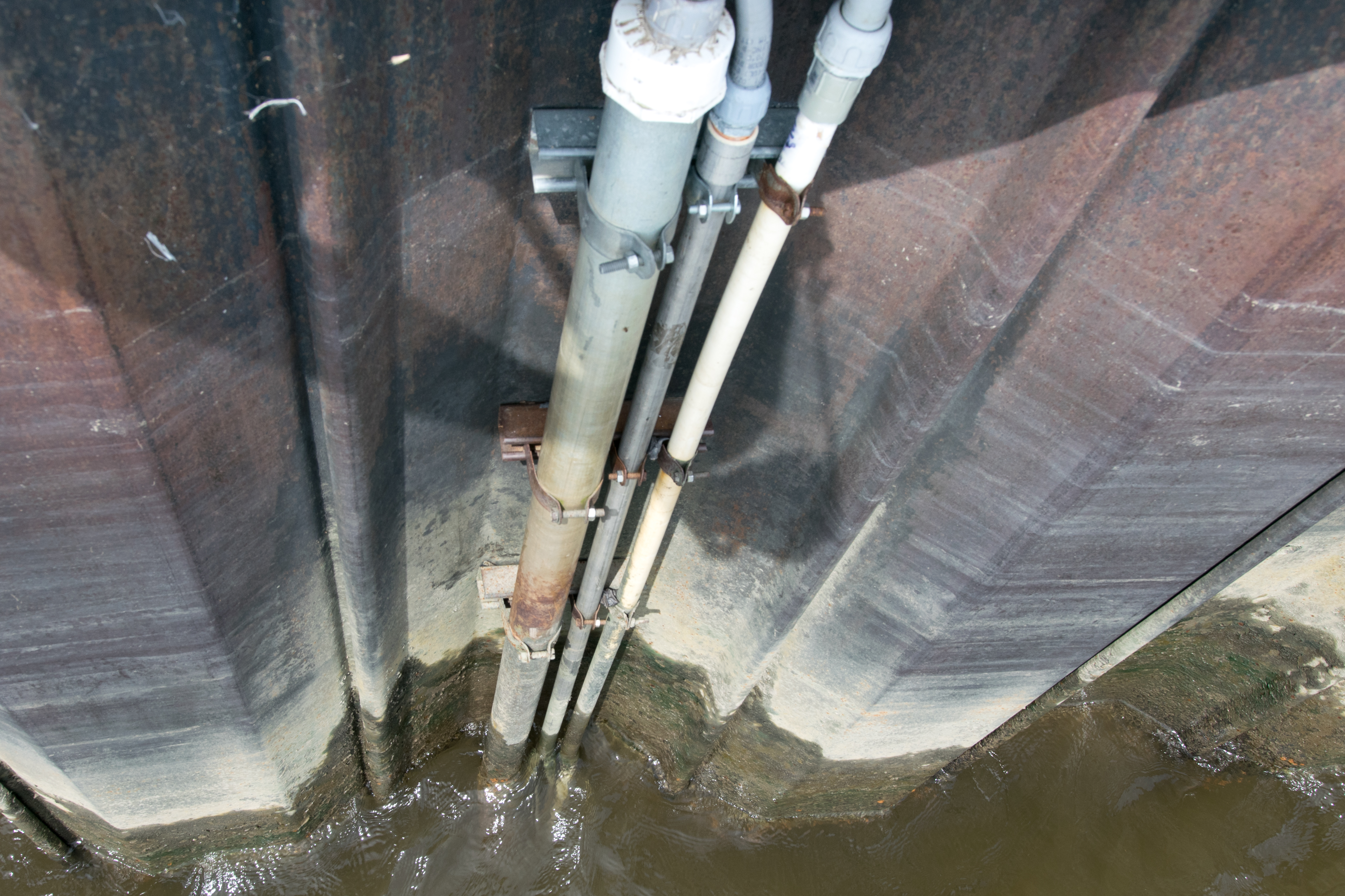
The station takes water-level measurements by sending an air bubble down a tube in the water and measuring the pressure above the bubble.
The Turkey Point Station has been running since late 2014. It was not added to NOAA’s network until last fall after a second, redundant instrument was added to the station.
Turkey Point is now a full part of the national network. Nonetheless, data from the station aren’t considered verified until they pass NOAA’s quality review.

iWR • January 2018