A collaborative effort has culminated in the launch of an innovative macroinvertebrate‑based assessment tool for Long Island Sound bays and harbors. Developed by contractor Tetra Tech alongside the Connecticut Department of Energy and Environmental Protection (CT DEEP) and NEIWPCC, the Connecticut Long Island Sound (CTLIS) Macroinvertebrate Multimetric Index (MMI) offers a science‑driven method to evaluate estuarine health.
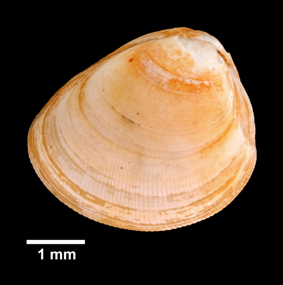
A multimetric index is a tool used to calculate the health or integrity of ecosystems, especially aquatic environments, by combining several biological measurements into a single score. In this case, the CTLIS MMI uses bottom-dwelling, or benthic, macroinvertebrates to measure biological conditions. Benthic macroinvertebrates are small organisms that live within or on top of a waterbody’s sediment, such as worms, snails and crustaceans. These organisms are especially useful for long-term monitoring because they are sensitive to pollution and tend to stay in one place. By observing which species are present and which are absent in the sediment, scientists can determine the health of the ecosystem.

The project started in 2020 with an in-depth review of existing monitoring tools from across the country. That assessment laid the groundwork for a custom-built index tailored to Long Island Sound’s unique characteristics, such as its varying degrees of freshwater and saltwater, sediment types, and urban development pressures. In the Sound, nitrogen pollution from lawn fertilizers, wastewater and stormwater runoff is the biggest threat to water quality.
To build the index, researchers first had to establish what “healthy” and “stressed” sites look like in the Sound. That process involved analyzing a wide range of environmental factors, including nutrient levels, dissolved oxygen, sediment contamination, and surrounding land use. By defining the site disturbance gradient, the researchers were able to calibrate the index against real-world environmental conditions.
Pulling from greater than 500 potential indicators, researchers narrowed the list to six key metrics that could reliably differentiate between healthy and degraded sites. These metrics include the presence of pollution-tolerant or sensitive species as well as measures of biodiversity and ecological function.
The index was tested using data from more than 200 embayment sites collected between 2010 and 2021 and correctly identified site conditions over 89% of the time. By mapping each site’s score, scientists created a regional snapshot of ecological health across Long Island Sound, revealing patterns and other visual insights to explore. For example, the MMI indicates stressed embayments dominated by pollution-tolerant macroinvertebrates near urban areas like New York City and New Haven, Connecticut.
As part of this project, Tetra Tech developed two complimentary tools to support implementation and stakeholder engagement in this work. A web-accessible tool allows users to calculate new index scores. Additionally, two interactive ArcGIS StoryMaps explain the project visually: The technical StoryMap reviews the methods, data and performance of the index, while the non-technical StoryMap provides a project overview for a general audience. The CTLIS MMI and these resources are intended to help scientists, regulators, and the public better understand the health of the Long Island Sound’s coastal waters and make informed decisions about restoration and protection measures.