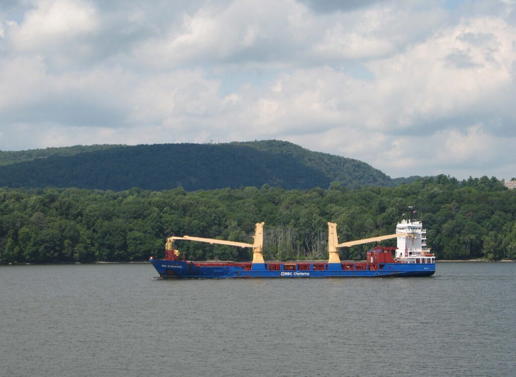
Navigating New York waterways just got a bit easier. The National Oceanic and Atmospheric Administration (NOAA) and the New York State Department of Environmental Conservation (NYSDEC) announced the establishment of the Hudson River Estuary Physical Oceanographic Real-time System (PORTS®). The system delivers real-time oceanographic and meteorological observations that can improve maritime safety and inform coastal resource management in the region. Commercial mariners, recreational boaters, resource managers, and coastal planners can use the online tool to access real-time water level data from Sleepy Hollow to Troy, New York.
The Hudson River National Estuarine Research Reserve (HRNERR) and NYSDEC had previously established the Turkey Point tide station near Saugerties in 2014 to provide accurate water levels and tidal predictions for the Hudson River. Until then, this part of the river had been in a “data gap” — an area without monitoring equipment nearby — as the closest station was in The Battery in Manhattan.
Chris Mitchell, NEIWPCC environmental analyst and HRNERR research coordinator, manages the station. He oversees its operation and maintenance, and acts as a liaison between NYSDEC and NOAA. In 2017, NOAA officially adopted the station into the National Water Level Observation Network, a series of long-term continuously operating water level stations throughout the U.S. and its territories.
In 2023, HRNERR, NYSDEC and NOAA identified the upper tidal portion of the Hudson River as a targeted location for the establishment of a new PORTS® network, with Turkey Point as its focal station. This station would be the cornerstone for a larger network of sensors, monitoring, and data products. Mitchell, as the team lead, managed project coordination and collaboration, and Christina Pacella, NEIWPCC environmental analyst and HRNERR habitat researcher, assisted with operational and logistical tasks.
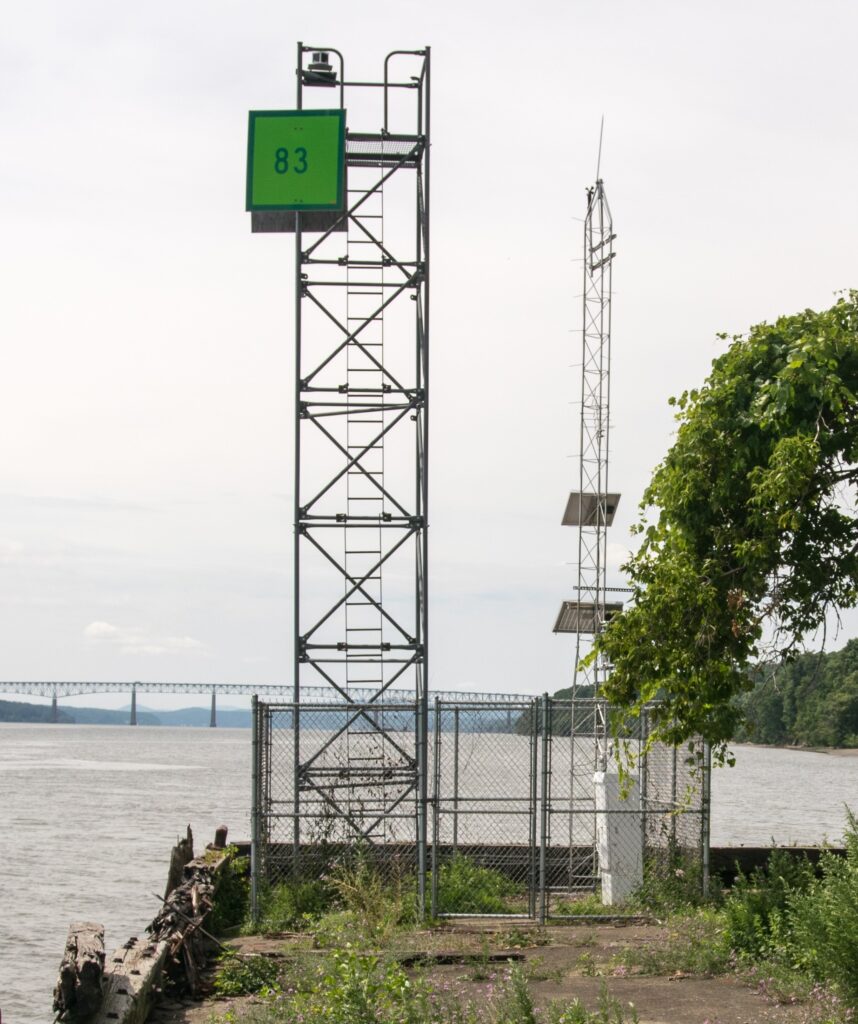
The Turkey Point station is equipped with pressure-based and microwave water level sensors, satellite transmitters, as well as rechargeable batteries and solar panels. The redundancy of the built-in sensors and power sources is designed to ensure the station operates in all weather conditions, and that NOAA’s critical real-time data continues to flow when it is most urgently needed by the maritime community. The station is also equipped with an anemometer that measures wind speed, pressure, and direction; sensors for air and water temperature, relative humidity, and conductivity; as well as a barometric pressure sensor to measure meteorological conditions.
A second water level station will be added to the system later in the year to deliver data from the upper portion of the Hudson River at the Coxsackie State boat launch and Riverside Park. The project team continues to pursue expansions of the network, which will improve maritime safety and provide high quality data on other portions of the river.
This article was originally published in the Spring 2025 edition of Interstate Waters magazine.