In recent years, Lake Champlain waters have been impaired by excess phosphorus, largely due to the number of surrounding farmlands. Lake Champlain Basin Program’s (LCBP) Long-Term Monitoring Program estimates that 38% of the total phosphorus input each year comes from agricultural usage. Additional pollution sources include runoff from roads, developed areas and lawns, as well as point sources like wastewater treatment facilities and industrial discharge. Excess phosphorus can result in harmful algal blooms, posing threats to human and ecosystem health and limiting recreational usage of the lake.
Rivers and streams are pathways for nutrients like phosphorus to move from the landscape into Lake Champlain. Normally, floodplains are able to absorb and store excess nutrients carried in floodwater, while also mitigating flood risks to nearby areas. In many places, however, connectivity between streams and their floodplains has been disrupted by human development and engineered flood-prevention structures, such as levees and floodwalls. When this occurs, the land is no longer able to provide these necessary benefits.
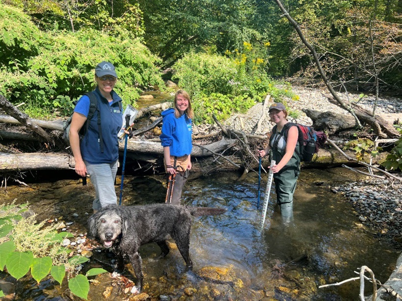
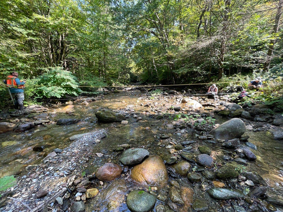
A recent LCBP project, in partnership with the Poultney Mettowee Natural Resources Conservation District and Fitzgerald Environmental, examined the suitability of floodplains in Vermont’s Flower Brook watershed to be reconnected to the stream.
“Streambank restoration and floodplain re-connectivity is a key component of our overall strategy for reducing nutrient pollution to Lake Champlain,” said Mae Kate Campbell, a NEIWPCC environmental analyst and an associate scientist with LCBP.

The research performed a series of geomorphic assessments at different sites in the watershed to determine each area’s potential for habitat restoration work. The assessments collected data on each location’s stream channel and floodplain, recording flow levels, soil substrate, flora, channel constrictions like culverts and hydrologic characteristics. The information is then added to a scoresheet, which assesses the condition of each location and its potential for future restoration.
“The priority projects identified through the Flower Brook assessment will lead to reduced nutrient and sediment pollution to Lake Champlain, with the added benefits of improving habitat and reducing flooding,” said Campbell.