Monitoring Impact on Tidal Marshes
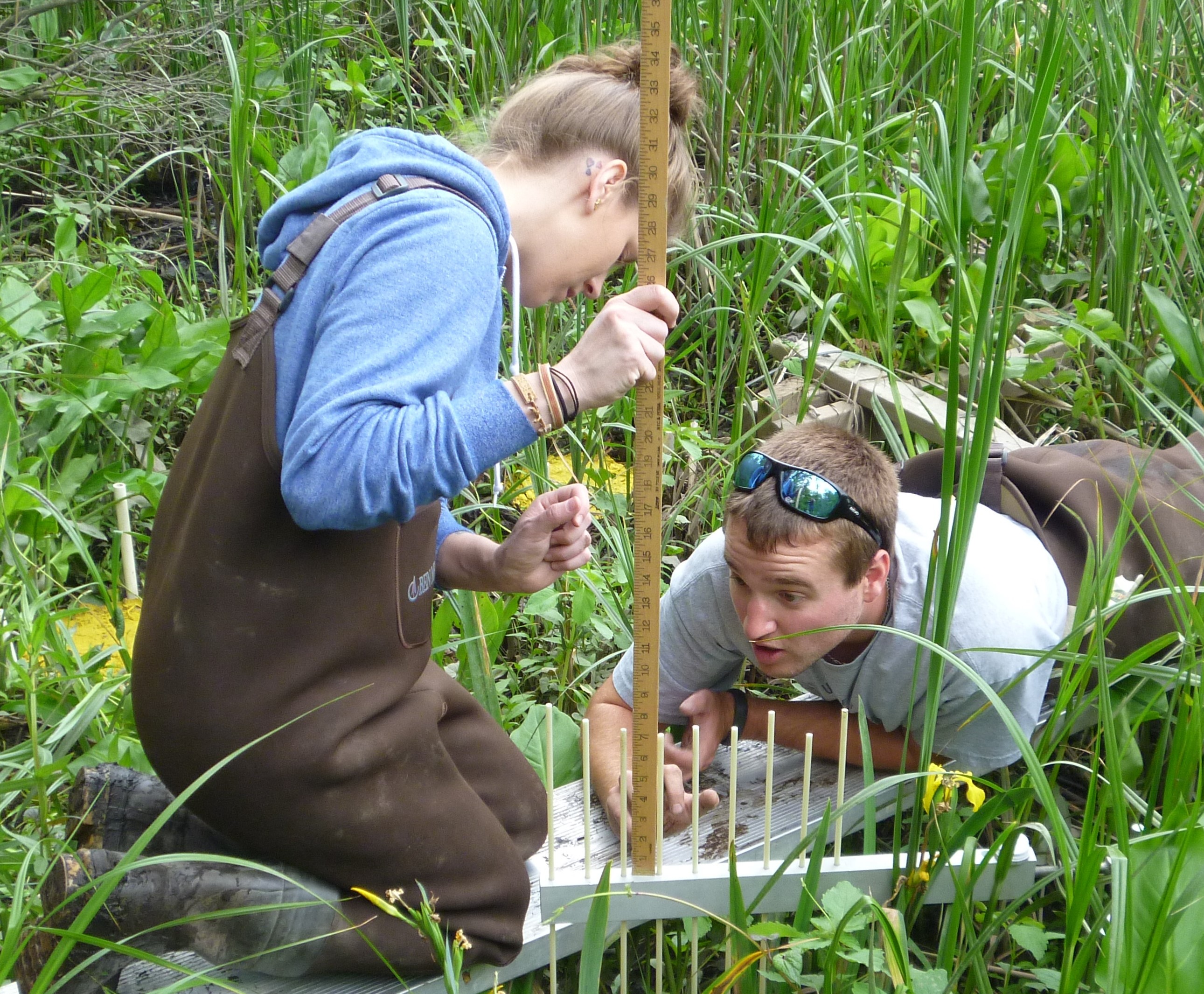
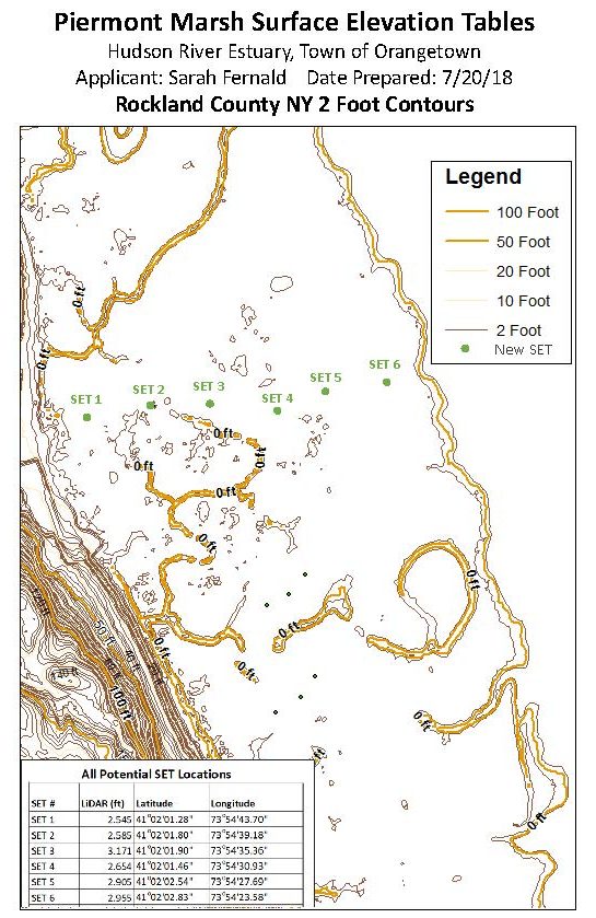
Late last fall, 3 NEIWPCC researchers at the Hudson River National Estuarine Research Reserve finished installing 6 surface elevation tables to measure changes in Piermont Marsh, the Hudson’s largest brackish tidal marsh.
These instruments monitor sediment accretion rates (the annual build-up of sediment) by measuring the elevation of the marsh surface relative to a fixed benchmark.
Each table has a stable benchmark that was installed by jack-hammering a stainless steel rod into the marsh to a depth of about 75 feet.
The six tables are spread across the width of the marsh at its center, allowing researchers to see if there are any differences in sediment accretion across the marsh.
Data will be collected seasonally to determine the impact of storm events. These data will shed light on the following research questions:
- Is the sedimentation rate keeping pace with sea-level rise in the lower estuary?
- Is sediment transported into the interior of the marsh?
- Are open water pools in the marsh’s interior a sign of degradation?
It will take about five years of data collection to address these questions, but the answers will help inform the management of Piermont Marsh. Monitoring will begin this spring.
To receive our e-newsletter, iWR, please send us your email address.
iWR • January 2019